Archaeological Park of Muro Tenente
Situated approximately 6 kilometres west of Mesagne, the site of Muro Tenente is an interesting example of a fortified Messapian settlement. In the Hellenistic Period the settlement controlled a strategic sector of the road axis that ran from Taranto – and from the Ionian coast in general – passing through the city of Hyrie, arriving at the port of Brindisi and vice versa. The characteristic elements of the site are the imposing remnants of the fortified walls that enclose an area of approximately 50 hectares. The walls, built in roughly hewn blocks of local limestone, make up a perimeter of 2650 metres, with a maximum thickness of 6 metres and a maximum preserved height of about 3 metres, while some of the internal ramps give access to the patrol path or cammino di ronda (a protected pathway behind a defensive wall or battlement).
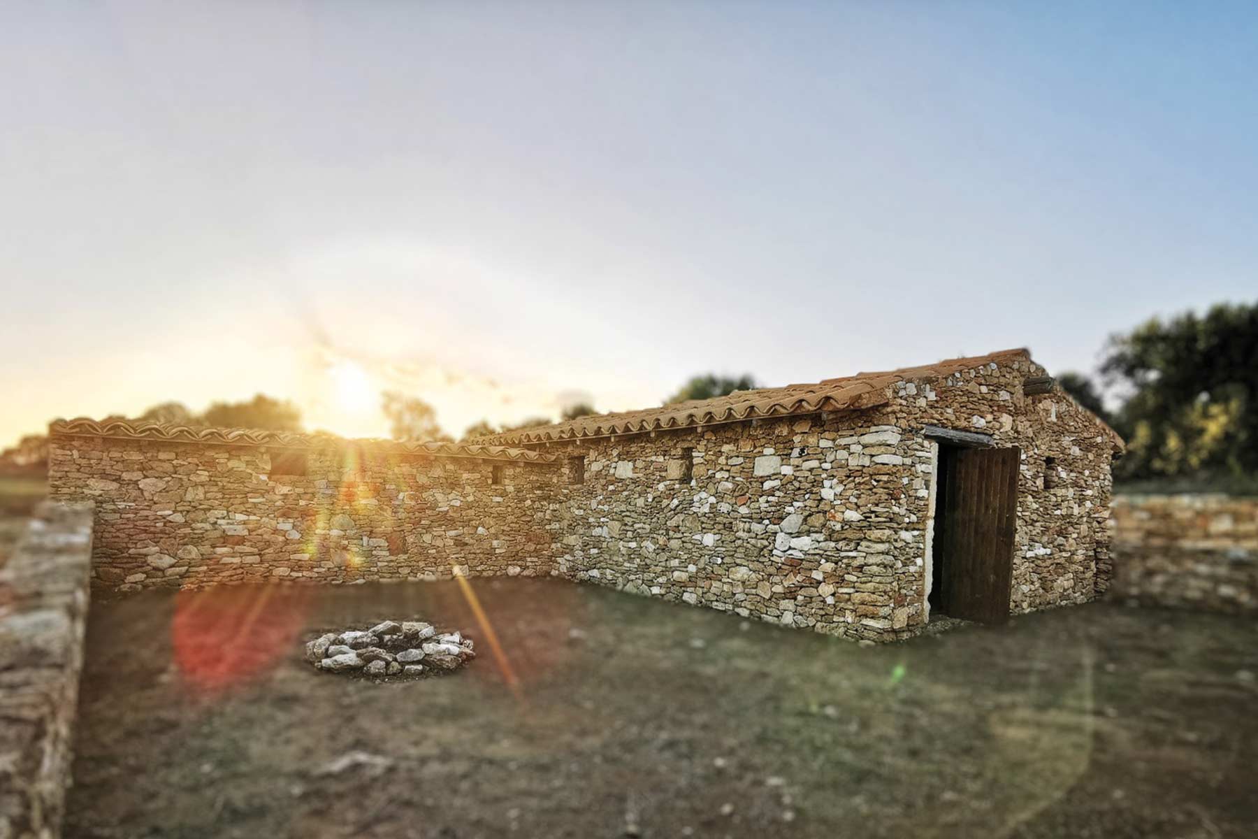
The current area allocated to the Archaeological Park (extending more than 35 hectares) is organised around a visitor and service centre, from which commences a series of trails punctuated with numerous points of interest equipped with information panels (Italian/English). The park is suitable for education activities, guided visits and Living History also thanks to the presence of an authentic and typical Messapian house rebuilt from the foundations of a dwelling from the III century BC. For some time the site has been recognised above all for the discovery of a tract of the Via Appia Antica (ancient Roman road that connected Rome to Brindisi), restored to an excellent state of conservation.
For information: www.appiaintabula.it (social contact: @murotenenteparco)
Muro Tenente and the Via Appia Antica
The via Appia Antica (or Regina Viarum, as it was known by the Romans) is the most famous Roman road. Its construction started in Rome in 312 BC at the behest of the censor Appio Claudio Cieco, and was probably only finished in the II century BC when the road completed its journey arriving at Brindisi. Thanks to the Tabula Peutingeriana (a road itinerary from the IV century AD) we know that the via Appia, in its last tract, exiting from Taranto heading towards a way station or rest stop known as Mesochorum (in the region of Grottaglie), passed via Oria and continued towards Brundisium (Brindisi) not before having passed a last check-point called Scamnum, located in the area near Muro Tenente. The most recent archaeological searches conducted inside the ancient fortifications have documented, in fact, that on the ruins of the ancient Messapian settlement destroyed at the end of the III century BC, a village (vicus) had emerged encircling a farm and a place of worship (an Italic temple) and that the same village was crossed by a road, whose route and whose characteristics seem compatible with that of the Via Appia Antica.
Gallery